


Washington’s Highest Road: A Perilous Journey Back in Time
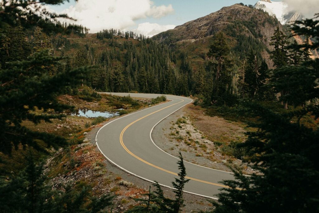
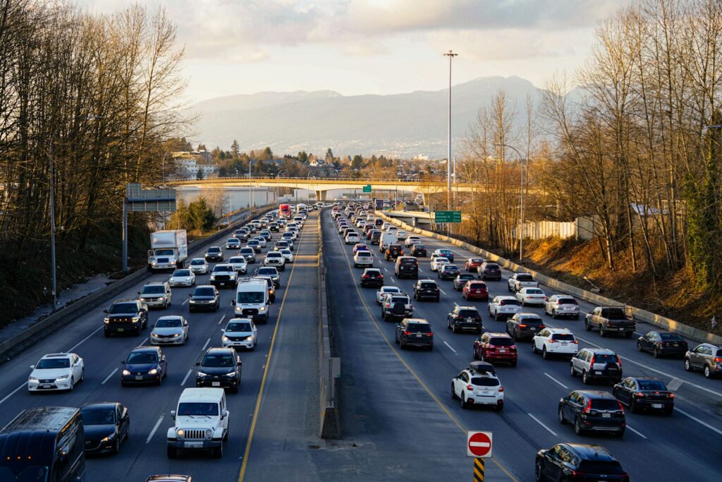
Seattle often ranks among the worst traffic in the nation, with congestion, construction, and bottlenecks at what feels like every turn elongating day-to-day commutes. But beyond the crowded Puget Sound region is another Washington-altogether a place of open roads, dramatic elevation changes, and landscapes that, from behind the wheel of an automobile, seem frozen in time. For drivers who leave the city center, the state offers drives that can feel more like adventures than errands.
What makes Washington such a driving wonderland is:
- Diverse geographies within short distances.
- Low population density outside metropolitan areas
- The roads cut through mountains and forests.
- Minimum development in remote areas
- Breathtaking scenery around each bend
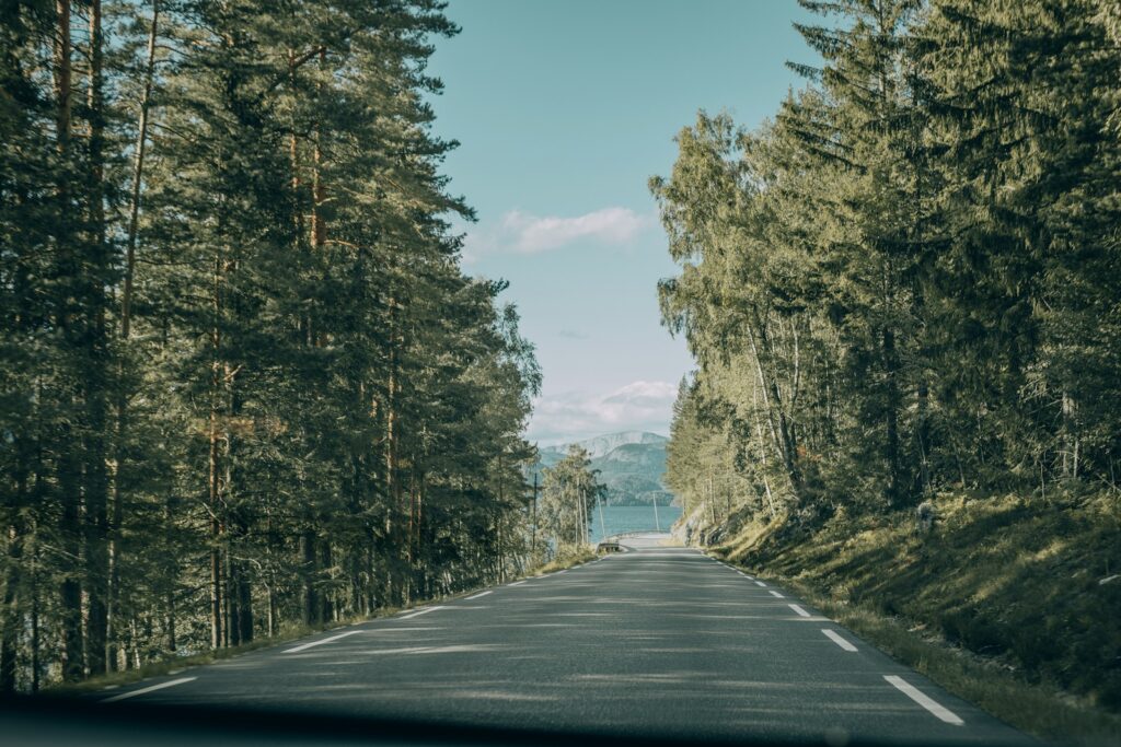
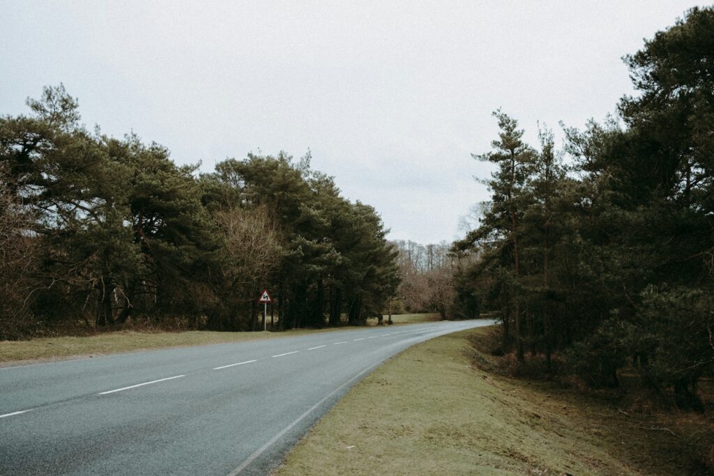
Once the city is out of sight in the rearview mirror, Washington shows its real character: rainforests give way to coastal cliffs, transitioning into alpine terrain crowned by volcanoes. These roads are not designed for speed or convenience but for patience and awareness. They command respect, rewarding with unforgettable views those who take on the challenge.
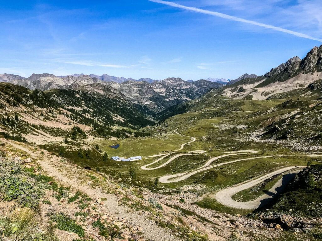
1. Hart’s Pass Road: the most hazardous drive in Washington
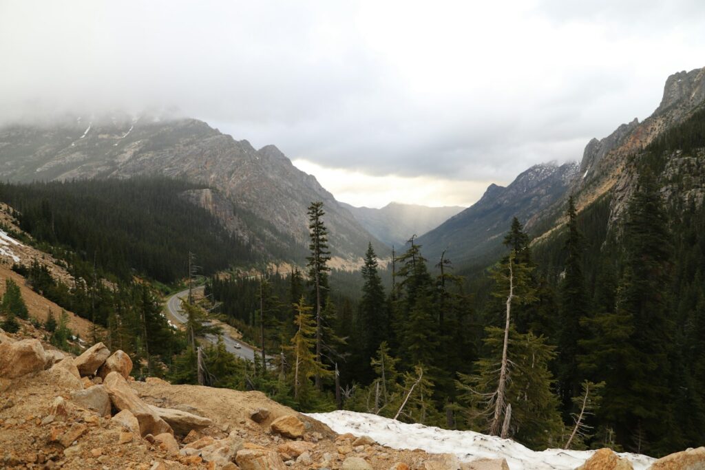
Of these mythic routes, Hart’s Pass Road is the literal and figurative outlier: highest road accessible by car in the state, with a fearsome reputation as the most dangerous drive Washington has to offer. This is a road that does not lend itself to casual sightseeing. Every mile demands undivided attention, steady hands, and calm mind, since danger and beauty exist side by side.
Why Hart’s Pass is so intimidating.
- Mostly unpaved surface: dirt, gravel
- one-lane sections carved into cliffs
- No guardrails on most of the route.
- Drops over 1,000 feet
- Very limited passing turnouts
The drive over Hart’s Pass is an exercise in trust: trust in your vehicle, trust in your skills, and trust in the conditions. The road allows little room for error, which forces drivers to slow their pace and keep alert. This is one of those places where fear focuses the senses, and every mile traversed successfully means another small victory won on discipline and respect.
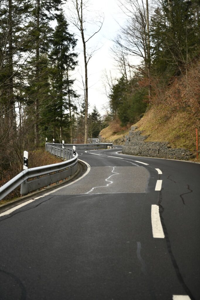
2. Narrow Path Hugging the Side of the Mountain
Hart’s Pass Road is about 20 miles long, pressed up against rocky mountainsides for much of it, with nothing separating vehicles from sheer cliffs. That gravel-and-dirt surface is often made more treacherous by rain or wind. Without guardrails for much of the way, drivers need to be acutely aware at all times of where they are in the road.
Physical Challenges of the Road
- Loose gravel lowers the traction in tires
- Blind curves with limited visibility
- Road surface inequality
- Exposure to high elevation winds
- No room for recovery after mistakes
Especially true for the passing of oncoming traffic, drivers are frequently engaged in a series of tense decision moments over who will back up to allow the other to pass, with only a few turnouts. Interactions such as these require patience and clear communication, furthering the sense that Hart’s Pass is something to be shared rather than conquered alone.
3. Designed for Mining, Not for Modern Travel
Despite its reputation today, Hart’s Pass was never intended as a thrill-seeking destination. Constructed in 1893, the road served gold and silver mines that once thrived in the remote North Cascades. During this mining boom, this isolated region supported a busy community complete with businesses, housing, and basic services.
Life at Hart’s Pass during the Mining Era
- It ranges from 1,000 to 3,000.
- Three hotels that catered to miners and travelers
- general store and post office
- a blacksmith shop and a saloon
- Power supplied to a saw mill and a plant
Now, driving the road is like following the echoes of that past: the buildings are gone, but the route remains, carrying travelers through a silent landscape once filled with industry and ambition. The journey melds peril with history in a manner providing one of the few peeks at this rugged past that Washington maintains.
4. Climbing to Washington’s Highest Driveable Point
Formally named Forest Service Road 5400, Hart’s Pass ultimately rises to 6,204 feet at its highest point. Those who drive on further to a locked gate near the Slate Peak Lookout find the elevation peaks at an astonishing 7,488 feet. No other road in Washington allows vehicles to climb this high.
Elevation Facts about Hart’s Pass
- Pass elevation 6,204 feet
- Slate Peak Lookout – elev. 7,488 feet
- Highest drivable road in Washington
- Snow-based seasonal access
- Maintained by U.S. Forest Service
Despite this height and danger, the road is generally passable in good weather. The Forest Service keeps it suitable for low-clearance vehicles, but caution is always urged. Weather at altitude always changes suddenly, and preparedness is of prime importance for anyone attempting the climb.
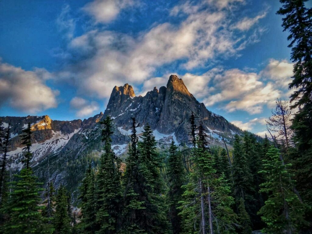
5. A Scenic Reward Worth the Risk
To those who make it across Hart’s Pass, it is an unsurpassed adventure through a number of the most stunning vistas in the Pacific Northwest: vast meadows, jagged canyons, and endless mountain ridges stretching across the North Cascades.
What makes these views unforgettable
- Scenic canyon overlooks
- Alpine wildflower meadows
- Dramatic rock formations
- Clear views of far-off peaks
- A complete sense of isolation
A 2022 landslide has currently cut off access, but this road is a tribute to raw beauty in Washington. Sometimes, a place is better earned, serenity and perspective awarded only to those who push through discomfort and even fear along the way.
6. Washington’s Steepest Official Highway
While Hart’s Pass has the title of most dangerous, Washington Highway 194 might hold the title of steepness. This 21-mile rural highway connects Pullman to Almota along the Snake River and cuts through terrain that has been sculpted over time by glaciers and erosion. Its steep grades create a different kind of challenge-one rooted in gravity rather than exposure.
Why Highway 194 is notable
- Officially Washington’s steepest road
- Rural route with very little traffic
- Large elevation gains
- Scenic views over farmlands and rivers.
- Demands careful braking control
Unlike Hart’s Pass, Highway 194 is paved, but the steep inclines challenge vehicles and drivers nonetheless. It speaks to the geological forces that molded this region and shows just how diverse driving challenges in Washington are-even on what would normally be thought of as minor roads.
7. Obstruction Point Road: No Room for Beginners
Another brand of white-knuckle driving is along Obstruction Point Road near Hurricane Ridge. The narrow, exposed 7.6-mile unpaved route is particularly unforgiving and usually described as “no beginner road.” The blind corners and steep drop-offs, coupled with frequent and unpredictable changes in the weather, test drivers along this stretch.
Challenges on Obstruction Point Road
- Single-lane sections with cliffs
- Loose gravel surfaces
- Sharp blind turns
- Slick conditions following rain
- No guardrails for protection
Obstruction Point demands undivided attention at every turn from the driver, but it does repay back in the sweeping views of Olympic National Park that few visitors will ever see. It’s one of those kinds of routes that require skill and build confidence but mostly prove beauty comes at a price.
8. When Scenic Roads Turn Deadly
Some of Washington’s most celebrated scenic highways mask hidden dangers. North Cascades Highway, State Route 20, is a summertime showplace but hazardous in winter; at 5,000 feet high, it passes over Washington Pass and is often beset by avalanches and heavy snows.
Seasonal Risks on Scenic Highways
- Heavy Snow Accumulation
- Avalanche zones
- Sudden weather changes
- Limited winter maintenance
- Closed annually from November through May
Chuckanut Drive, on the other hand, is a whole different story. Hugging the cliffs between Burlington and Bellingham, it grants spectacular water views, yet the turns are tight and the lanes narrow. Drivers are advised to keep their speeds down-after all, this road is shared by cyclists aplenty.
9. Hidden Local Legends of Washington Roads
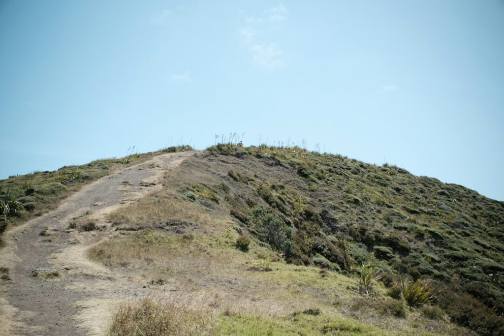
Some of the most exciting drives in Washington aren’t even well known. Tickle Hills Road, just north of Spokane, is a gravel route infamous locally for its extreme crests-places where drivers repeatedly reach the peak of a hill and the road completely disappears from view before they drop down the other side.
Why Tickle Hills is so infamous
- Very steep hill crests
- Gravel reduces vehicle control
- The road disappears at the top
- Limited signage or warning
- known largely only from local accounts
These roads serve as a reminder that not all danger in Washington is posted or advertised but is passed along through word of mouth and reinforces an awareness that caution counts as much as skill.
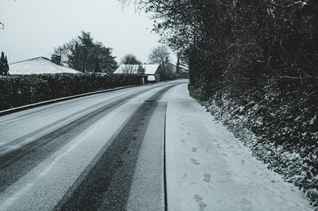
10. Seattle’s Streets: Urban Danger in Disguise
Perhaps the biggest driving surprises come within Seattle itself. Whereas the city’s steep hills are negotiable in good weather, they become dangerous during winter storms. If snow melts and then refreezes, the road surfaces become icy on which there is no traction to speak of.
Why Seattle Hills become hazardous
- Extremely steep grades
- Ice builds up during freeze-thaw cycles
- Vehicles lose control driving down hills
- Frequent Street Closures
- Limited traction even at low speeds
Local lore even includes a dangerous game called “Bullet,” where drivers once attempted to go airborne over hills. Today, those same streets often transform into sledding hills during snowstorms, blending danger with humor in a uniquely Seattle way.


